So here are some pictures from the trip thse pictures are from the Burrens. This region of Ireland has the same kind of terrain as the Aran Islands. The bedrock is limestone and the arable earth has been stripped off by the glaciers which has lead to weird weathering and what they call pavement that are seperated by grikes and clints. It is hard to describe and even harder to walk in since you always have to look at where you place your feet.


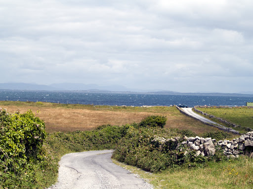
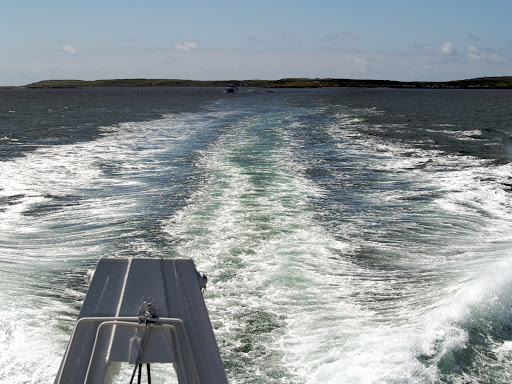
Going around Black Point was rather interesting because of the road but also because of the obstacles. ;o)


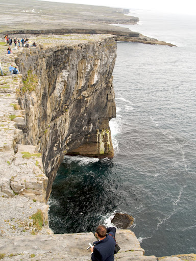
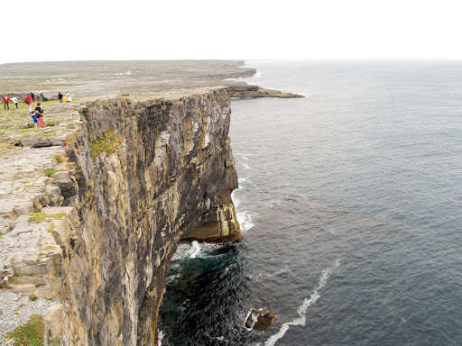
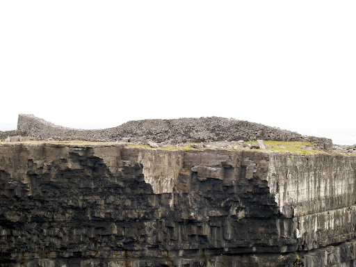
The region also contains some really awesome cliffs. The Cliffs of Moher are spectacular and you can walk along the path on the cliff edge for kilometers, which I did of course. The path is at your own risk and some parts of it are within a foot or two of the edge which drops down 200 meters to the sea below. (I checked the height in Wikipedia because it seemed way higher.) I loved the walk and the feeling of being so close a great void. I love high places where I can see forever... especialy if my toes are dangling over the edge. Mrs. BB, having vertigo, does not find my love of high empty places funny at all. ;o) The last picture gives you an idea of scale...


 The Burrens is also one of the places where we can find the most prehistoric sites, from ring forts to burial sites, they spot the landscape. One of the most famous is the Poulnabrone portal tomb a burial site from the neolithic.


Since the Burrens are limestone there were bound to be caves. This is one of the largest caves in Ireland Ailwee Caves. They also have a sanctuary for birds of prey where they give a home to birds of prey that are injured before releasing them back into nature.


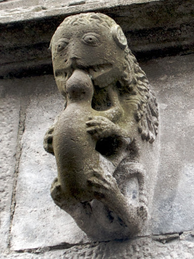
 And where would we be in Ireland if we didn't find a high cross. The high cross of Dysart O'Dey is on of the best preserved in Ireland. It was once part of an abbey, but is now sitting in the middle of a cow pasture. The ruins are still used for burials, as are most ruins of churches and monasteries. The reason we were given is that when Henry VIII founded the church of England the population, which largely stayed catholic, were no longer allowed to bury their dead in the protestant churchyards. Since the ruins were still consecrated ground, they continued to bury their dead in the ruins.


 Panoramic view of the Twelve Bens


 A Connemara pony. These half-wild horses are said to descend from the horses that escaped from the wrecks of t he Spanish Armada.
 A small bay with the Twelve Bens in the background.

 This is the Dan O'Hara's homestead. It was renovated to show what the small farms would have looked like in the 1800's. The tenant was kicked off his land when the landlord hiked his rent because O'Hara put windows in the house. His wife and most of his children died on the boat and he and the two remaining children settled in New York, where he also died brokenhearted so it's said. There is a song about him that is still sung.